On the same outline map of India, given for Q. No. 9, locate and label any three of the following with suitable symbols: The dam built on Mahanadi river.
On the same outline map of India, given for Q. No. 9, locate and label any three of the following with suitable symbols: The dam built on Mahanadi river.
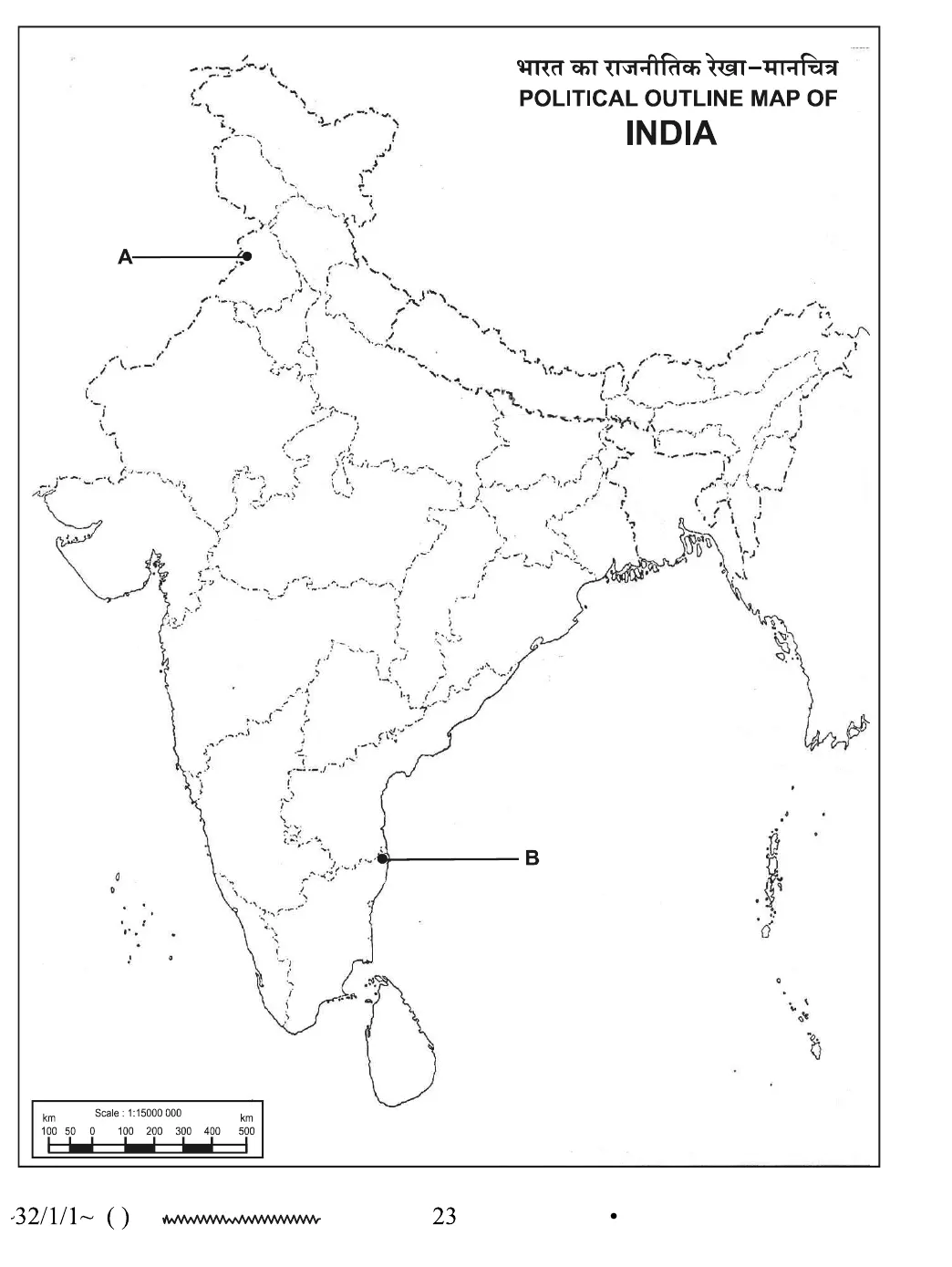
Official answer
Hirakud Dam — built on the Mahanadi river in Odisha (near Sambalpur). On the outline map, mark its approximate location on the Mahanadi river in Odisha with a distinct symbol (e.g., a small triangle or dot) and clearly label it 'Hirakud Dam'.
Marking scheme
- 1.1 mark: Correct symbol placed at the approximately correct location (near Sambalpur, Odisha, on the Mahanadi river) AND correctly labelled 'Hirakud Dam'. No mark for symbol alone without correct label, or for a wrongly located symbol even if labelled correctly.
Hint
Mahanadi flows through Chhattisgarh and Odisha; the dam on it is near Sambalpur, Odisha — that is the Hirakud Dam.
Quick oral answer
The Hirakud Dam is built on the Mahanadi river near Sambalpur in Odisha — I would mark it there on the outline map and label it clearly.
Common mistakes
- 1.Marking the dam's location too far downstream near the Mahanadi delta/coast instead of near Sambalpur.
- 2.Confusing the Mahanadi with another peninsular river (e.g., Godavari, Krishna) and marking the wrong dam.
- 3.Using an unclear or unspecified symbol not matching the map-index convention expected by CBSE, or leaving the feature unlabelled.
Analysis and explanation
Map questions test precise locational knowledge of key economic features (rivers, dams, mines, industries, ports) listed in the CBSE map list.
Concept
- The Hirakud Dam is built across the Mahanadi river near Sambalpur, Odisha — one of India's most significant multi-purpose river valley projects, and the longest earthen dam in the world, serving flood control, irrigation, and hydroelectric power.
Common mistakes
- Marking the correct river but the wrong point along it (e.g., near the coastal mouth instead of upstream near Sambalpur).
- Confusing the Mahanadi with another river having a well-known dam, such as the Krishna (Nagarjuna Sagar).
- An incorrect location or wrongly labelled dam earns no credit even if a symbol is marked somewhere on the map.
Exam tip
- Since only three of four listed items are to be attempted, choose the three locations you are most confident of identifying precisely.
Interesting facts
The Hirakud Dam, completed in 1957, is the longest earthen dam in the world, spanning about 25.8 km including auxiliary dykes.
Hirakud Dam was one of independent India's first major multi-purpose river valley projects, envisioned to control the notoriously flood-prone Mahanadi river.
The Mahanadi river basin, where Hirakud is located, spans parts of Chhattisgarh and Odisha and has historically been called the 'Sorrow of Odisha' due to recurrent floods before the dam was built.
Question details
Q30 of 57 questions
- Board
- CBSE
- Class
- Class 10
- Subject
- Social Science
- Year
- 2026
- Section
- Section B
- Marks
- 1
- Chapter
- Water Resources
- Topic
- Map Skills — Multi-Purpose River Valley Projects (Dams)
- Bloom's level
- remember
- Syllabus topic
- Unit: Resources and Development — Water Resources: Multi-Purpose River Valley Projects
- Author
- CBSE
- Reviewed by
- Padhantu Academic Team
Spotted a mistake or something unclear?
Tell us and we will fix it.
Frequently asked questions
Which dam is built on the Mahanadi river?
The Hirakud Dam, located near Sambalpur in Odisha, is built on the Mahanadi river and is one of the longest earthen dams in the world.
What is the purpose of the Hirakud Dam?
It serves multiple purposes — flood control on the Mahanadi, irrigation for farmland in Odisha, and hydroelectric power generation — making it a classic 'multi-purpose river valley project'.
How many of the four listed map items must be attempted in this question?
Candidates must attempt any three of the four sub-items (19.1 to 19.4), since the group carries 3 marks total, not 4, as noted in the question paper.